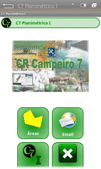
About C7 Planimétrico I
The C7 Planimetrico I, is an application developed for the Android platform, which using the Google Maps API, allows location of any area on the maps or satellite images, and enables points vectorization, calculation of...
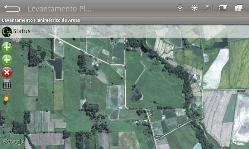
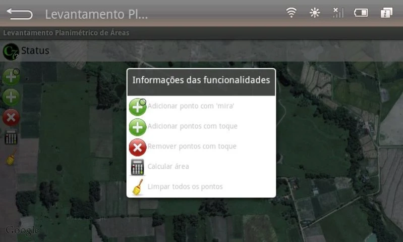
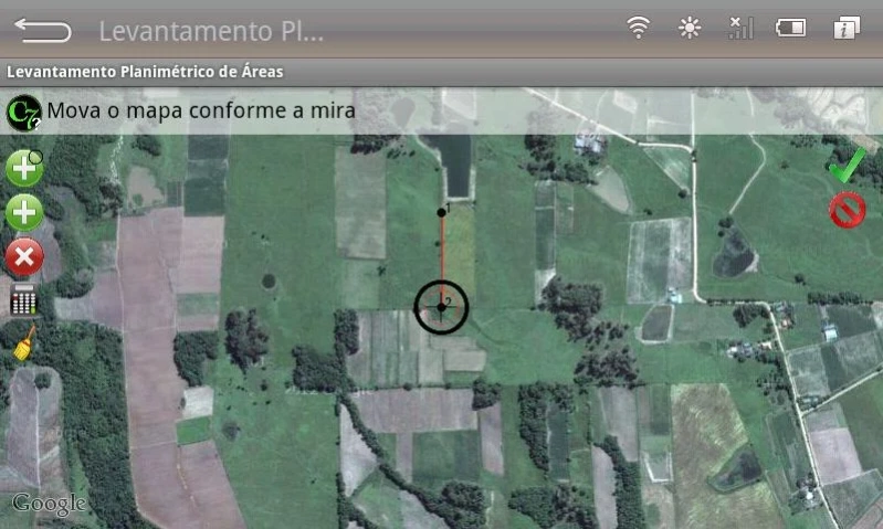
The C7 Planimetrico I, is an application developed for the Android platform, which using the Google Maps API, allows location of any area on the maps or satellite images, and enables points vectorization, calculation of area and perimeter , storing the geographic coordinates of latitude and longitude (decimal degrees and UTM - WGS84) in text file (GeoTXT) and send this file - email - to any recipient in the application environment itself.
Video Demo: http://crcampeiro.net/redirectVideoAndroid.php?id=3
Previous Versions
Here you can find the changelog of C7 Planimétrico I since it was posted on our website on 2016-10-08 13:59:09.
The latest version is 2.0 and it was updated on 2024-04-01 21:58:04. See below the changes in each version.
C7 Planimétrico I version 2.0
Updated At: 2014-11-27
Disclaimer
Official Google Play Link
We do not host C7 Planimétrico I on our servers. We did not scan it for viruses, adware, spyware or other type of malware. This app is hosted by Google and passed their terms and conditions to be listed there. We recommend caution when installing it.
The Google Play link for C7 Planimétrico I is provided to you by apps112.com without any warranties, representations or guarantees of any kind, so access it at your own risk.
If you have questions regarding this particular app contact the publisher directly. For questions about the functionalities of apps112.com contact us.